Image analogies: Texture-By-Numbers: Flight simulator terrain
These terrain images of southern Finland were created by Jari Kaskelin (jari.kaskelin@luukku.com), who downloaded the Image Analogies software, as well as airial maps and land surveys from the National Land Survey of Finland and the City of Turku web site.
The images on this page are shown reduced; click on an image to enlarge it.
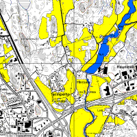 |
: | 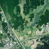 |
:: |
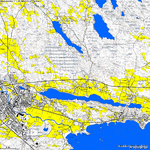 |
: | 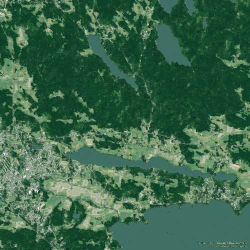 |
|
The synthesized terrain as seen in a flight simulator:
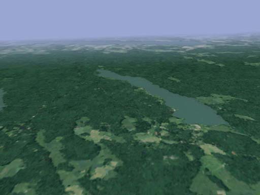
Copyright © 2001 Jari Kaskelin, Aaron Hertzmann, Charles Jacobs, Nuria Oliver, Brian Curless, David H. Salesin